The famous Dadès Gorge
Everything we have done up until now has been child’s play compared to what we faced today. We left Imilchil and headed south and over the High Atlas mountain range, with our goal being the Dadès Gorge and the town of Boumalne Dadès. If you search for images of this route, you will see an incredible photo of a beautiful, paved road hairpinning its way down the side of a steep slope, and that is certainly part of the route. 3 km of the route. Near the end of the route that we had planned.

What the pictures don’t show you are the reason why it took us 7 hours to drive 160 km.
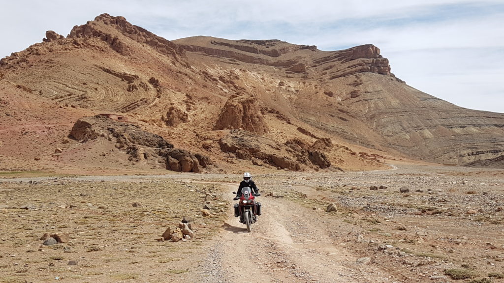
Not far from Imilchil, the road begins to deteriorate, and soon turns into a dirt and gravel path that winds its way through numerous villages just as described from our drive yesterday. Then it begins to climb, switching back and forth with sheer drops along one side until it reaches the top of the range at 2911 m. Then begins the descent. A hair-raising series of downhill switchbacks that pushed us to our very limit, and was without a doubt the most difficult terrain either of us had ever driven.
But what choice did we have? Every km brought us closer to that beautiful, paved serpentine road we had seen pictures of, and so how much more of this harrowing, limit-testing trail could there possibly be?
Along the route, we passed a 19-bike tour group travelling the other way on even larger motorcycles. One German said that what was behind him was easy. If only that had been true!
On one challenging hairpin, I was unable to manage negotiating the rutted off-cambre gravel turn, and ended up laying my bike down. Fortunately I was stopped at the time, and I was able to ease it down rather than have it crash to the ground. The bike survived almost unscathed, but it took a few moments for Angela to find a level place to park her bike so she could come and help me remount mine.
Shaken, but not defeated, we continued down the other side of the mountain range until finally the road became more sensible, and we began seeing hints of pavement.

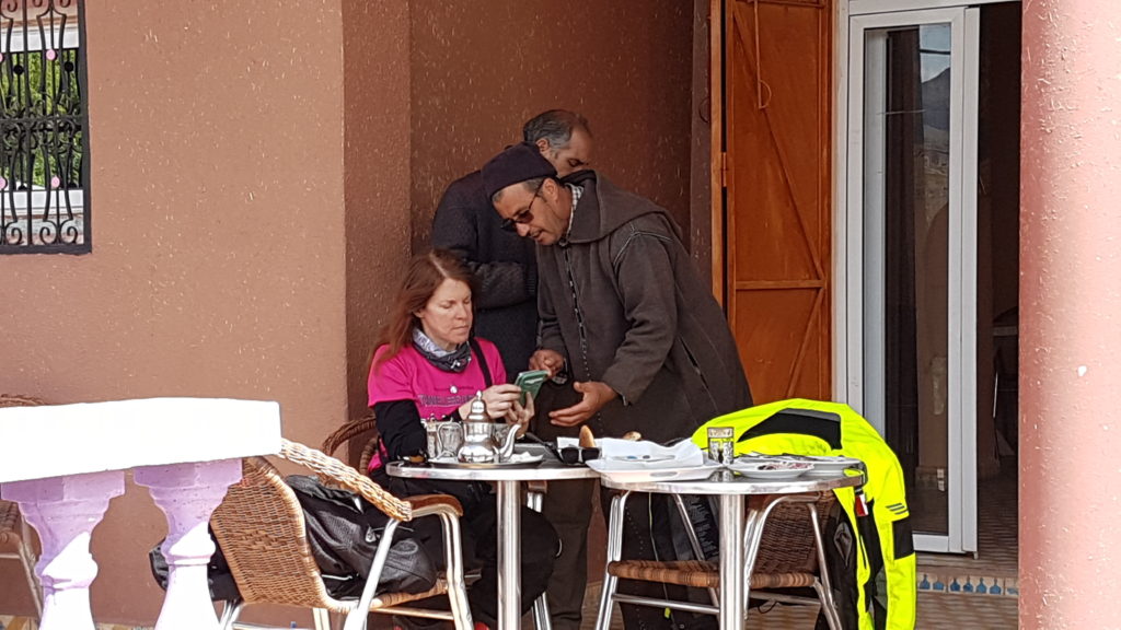
At the 100 km mark, we arrived in M’semrir, where we stopped to eat and mentally regroup.
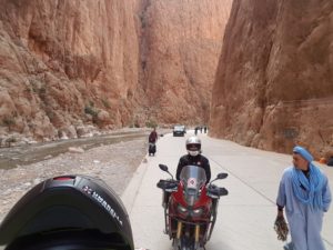
From there, it was a mere 60 km, along mostly paved and only gently sloping terrain. And then finally, at 130 km into our day, we found the famous (and very short) section of this world famous road.
The rest of the ride was uneventful, at least until we reached the last 1000 m before our AirBnB, where we were faced with a steep switch backed gravel road leading to our final destination. Angela tried, but eventually gave up. She had reached her limit, and so I brought both bikes the last 150 difficult m to where they would rest for the evening.
Apparently I’m driving them out again in the morning. No problem – we still have two undamaged panniers between us!


